

 By Vic Sutton
Geographic Information System (GIS) technology has the potential to transform learning, argued long-experienced teacher Bonnie Bracey Sutton at a workshop at the conference of the Society for Information Technology and Teacher Education (SITE), Jacksonville (FL), March 17-21, 2014.

Bonnie Bracey Sutton
Geography is presently a low priority in U.S. school curricula, partly because of the emphasis that the ‘No Child Left Behind’ law places on reading and math. The result is that American children’s awareness of where they live, and where their country is in the world, is at an all-time low.
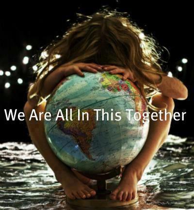
Yet the ability to know where you are, and where you are going, is crucial in life. And mapping is the way that we record what we know about where we are, and where we are going.
Workshop participant Ray Rose recalled that the earliest maps in America were made by people standing on tall hills and drawing what they saw below them.
There was also discussion about map projections. Most of us know the world from Mercator’s projection, which – as one participant argued – is ‘culturally biased’. Just look, for example, at the size of the African continent on a traditional map, and then compare the size of Africa to other countries or regions.
Other map projections correct this, and provide other perspectives. But as another person commented, “the Mercator projections are what we carry around in our head.”
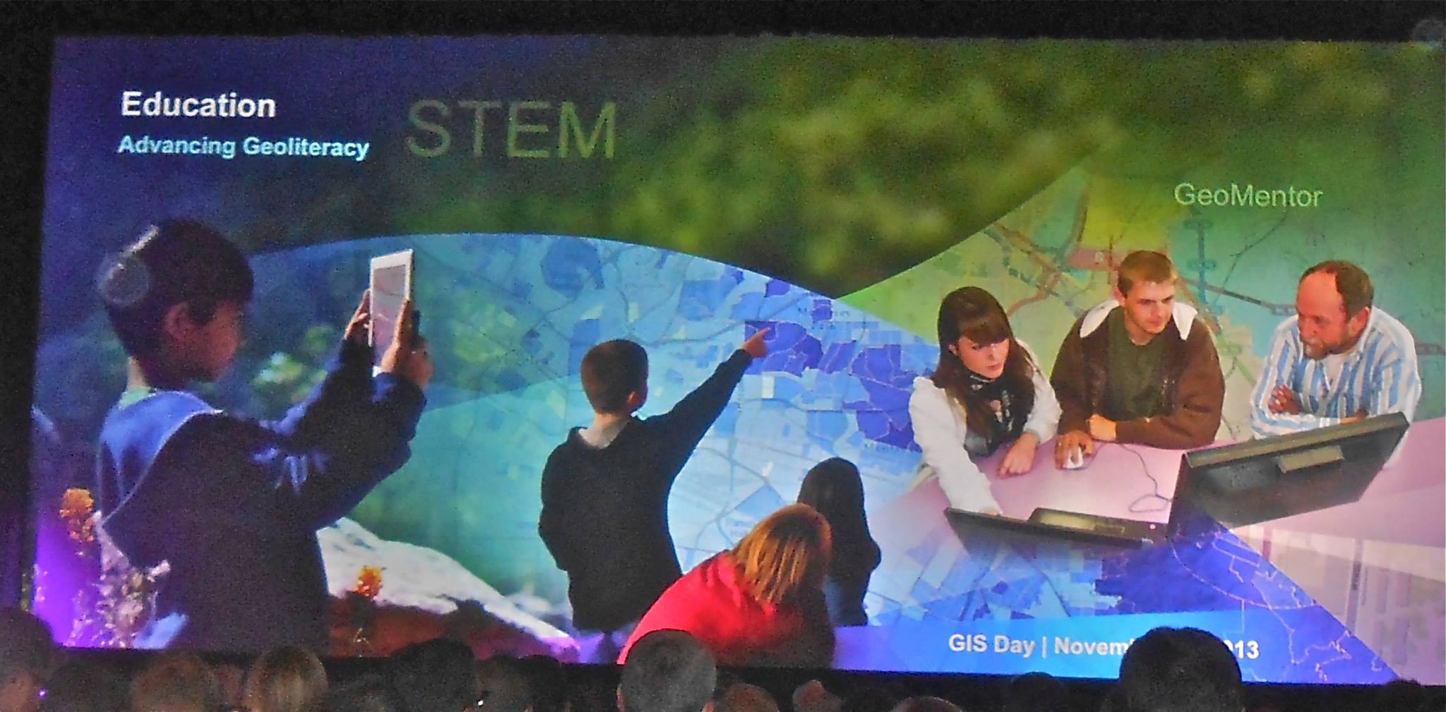
Bracey Sutton presented a wealth of resources that educators can use, in the classroom or in informal education, to provide children with tools to map their immediate environment, or to explore wider environments, from their community to their state, country or region.
Nowadays we tend to take GIS for granted, for example when using a GPS to guide us to a destination. But for students to understand it they still have to tackle the basics of latitude and longitude.
And there are any number of alternative map projections. See for example the Gall stereographic projection, which long predated the better-known Peters projection.
But the conclusion is that depicting the earth on a flat surface almost inevitably leads to distortions. GIS can help students to understand how they arise, and – sometimes — how to compensate for them.

Some Resources:
 Do you know the true size of Africa?
Does size matter? US vs Russia
What is GIS?
- ESRI ~ A geographic information system (GIS) is a computer-based tool for mapping and analyzing things that exist and events that happen on earth. GIS technology integrates common database operations such as query and statistical analysis with the unique visualization and geographic analysis benefits offered by maps.”
- 20 Minute Video on GIS
Participatory Event 2014: GIS DAY
Filed under: Uncategorized |


Leave a comment