

 By Vic Sutton
While at a recent workshop at the Redlands, CA, headquarters of the Environmental Science Research Institute (ESRI), I heard the most concise definition of geography yet: “What where? Why there? Why care?”

My wife, Bonnie Bracey Sutton, had been accepted for a week-long workshop in ESRI’s T3G Institute. I traveled with her, thinking I was heading for a holiday in Southern California – maybe visit the beach and chill out in wine country.
No such luck. As soon as he saw me, Charlie Fitzpatrick said, “I’ll get you a badge.”
Charlie Fitzpatrick is the K-12 education manager at ESRI. Before joining ESRI in 1992, Charlie taught social studies in grades 7-12 for 15 years.
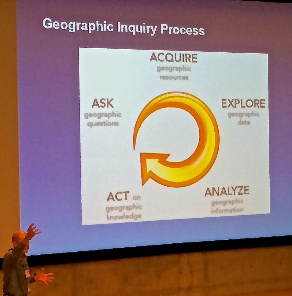
“T3G” is ESRI’s acronym for “teachers teaching teachers GIS.” So the goal of the workshop was to give a group of some 90 educators the knowledge and hands-on skills to be able to teach other colleagues how to use geographic information system information in their work.

Jack Dangermond is the founder and head of ESRI. He is a very modest man, despite his success in building ESRI into an international company with some 3,000 employees around the world.
He spent half an hour with the T3G participants, outlining his vision of what ESRI could do for education and fielding questions.
Dangermond recently hit the headlines for his pledge, in a meeting with President Obama, to provide a free copy of ESRI’s ArcGIS mapping software to every public school in the United States.
At market prices, that is a deal worth one billion dollars.
ESRI’s big annual event is its User Conference, usually held in July in San Diego, CA. Side by side with this event, the ESRI Education Conference brings together educators to look at how GIS and GPS can be used in the classroom.
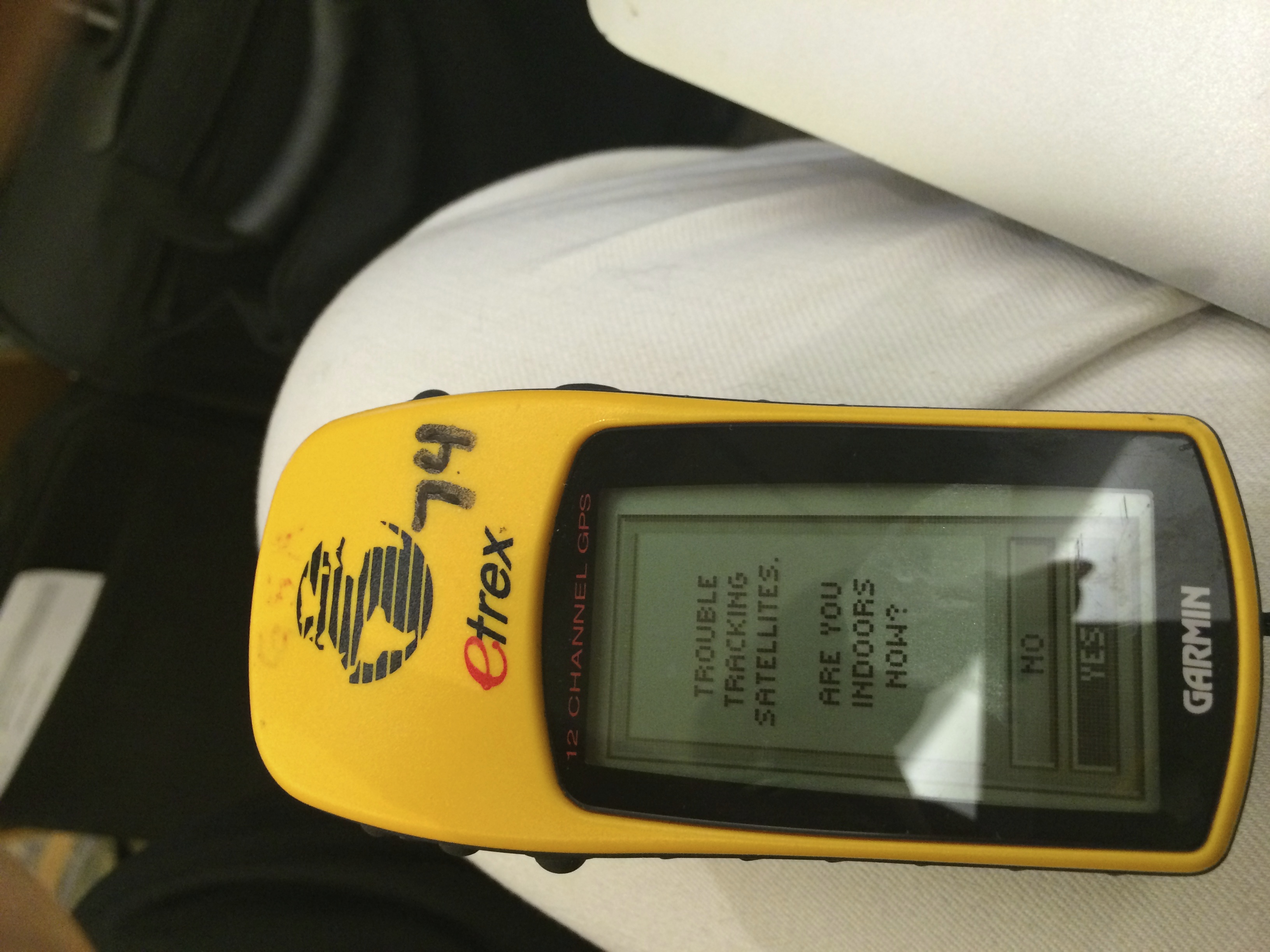
But back to Redlands. Armed with small GPS devices, we practised mapping points on ESRI’s beautiful campus, using Collector software to record the latitude and longitude of a number of easily-identified objects – rocks, trees, cars and so forth.
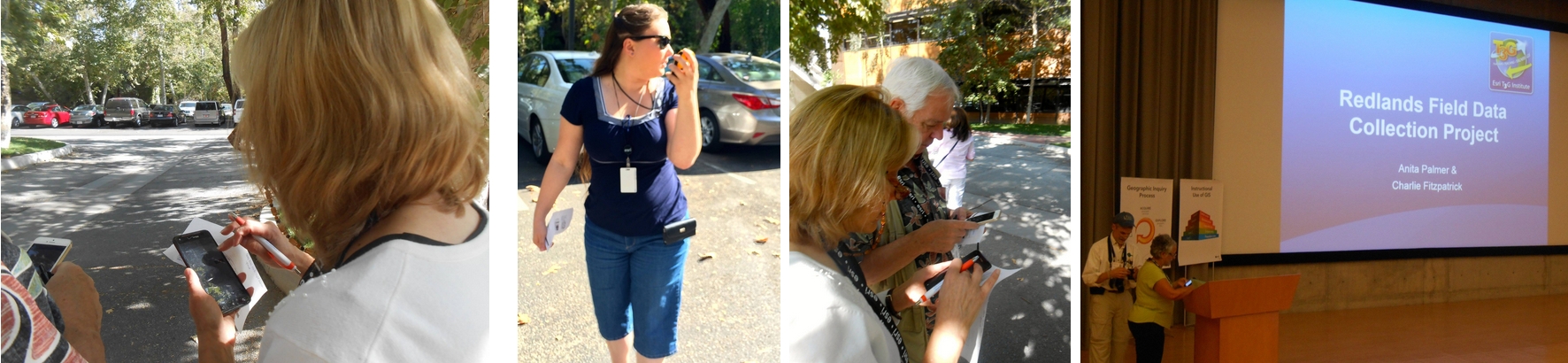
The following day, we set out on a field trip to do the same mapping exercize in a number of Redlands streets – mapping houses, trees, street lights, electric poles and fire hydrants. All this information was beamed into the cloud to be loaded into a pre-programmed ESRI map.
We used a number of devices, including BYOD.
Why map things?
We were given two practical exercises: mapping points in Florida where Burmese pythons had been spotted and mapping resources that were needed to deal with the “Derecho” thunderstorms that hit the state of Virginia in June 2012 – locations of schools, hospitals, fire stations, and intersections between roads and rivers that were likely to have been flooded.
So to recall: “What where? Why there? Why care?” There are so many other good uses for GIS and GPS in education. The challenge is to get educators motivated to explore them, to organize the professional development that can make them feel confident using them in the classroom, and then of course to have administrators and school boards recognize the importance of this work for students.
Additional resource: The ConnectED initiative and Esri
Filed under: Mobile Technology, Professional Development, Science, STEM |


[…] https://etcjournal.com/2014/06/30/geography-t3g-esri-in-education/ […]